Land for sale · Baja California
261 acres of land in Ojos Negros
105.66 hectares of open land and hills, reached by a local road off the Ensenada–San Felipe highway. Walk it from the air before you set foot on it.
- Land area
- 105.66 ha · 261 acres
- Square meters
- 1,056,571 m²
- Access
- Ensenada–San Felipe highway, km 51+800
- Aerial views
- From 250 and 500 m up
360° aerial tour
Walk the land from the air
Two drone flights, at 250 and 500 meters, with the boundary traced in gold and a compass to keep your bearings. Take your time, and arrive at the visit knowing exactly what you want to see.
The tour labels are in Spanish: “Explorar el terreno” starts it and “Mostrar linderos” toggles the boundary.
- Drag to look around 360°, and scroll or pinch to zoom in.
- Switch altitude between 250 and 500 m: the view keeps facing the same way.
- Follow the gold line: that is the boundary; turn it off to see the land clean.
- On your phone, tap the phone button and look around by moving it.
The land
Room to spare, with a wide-open horizon
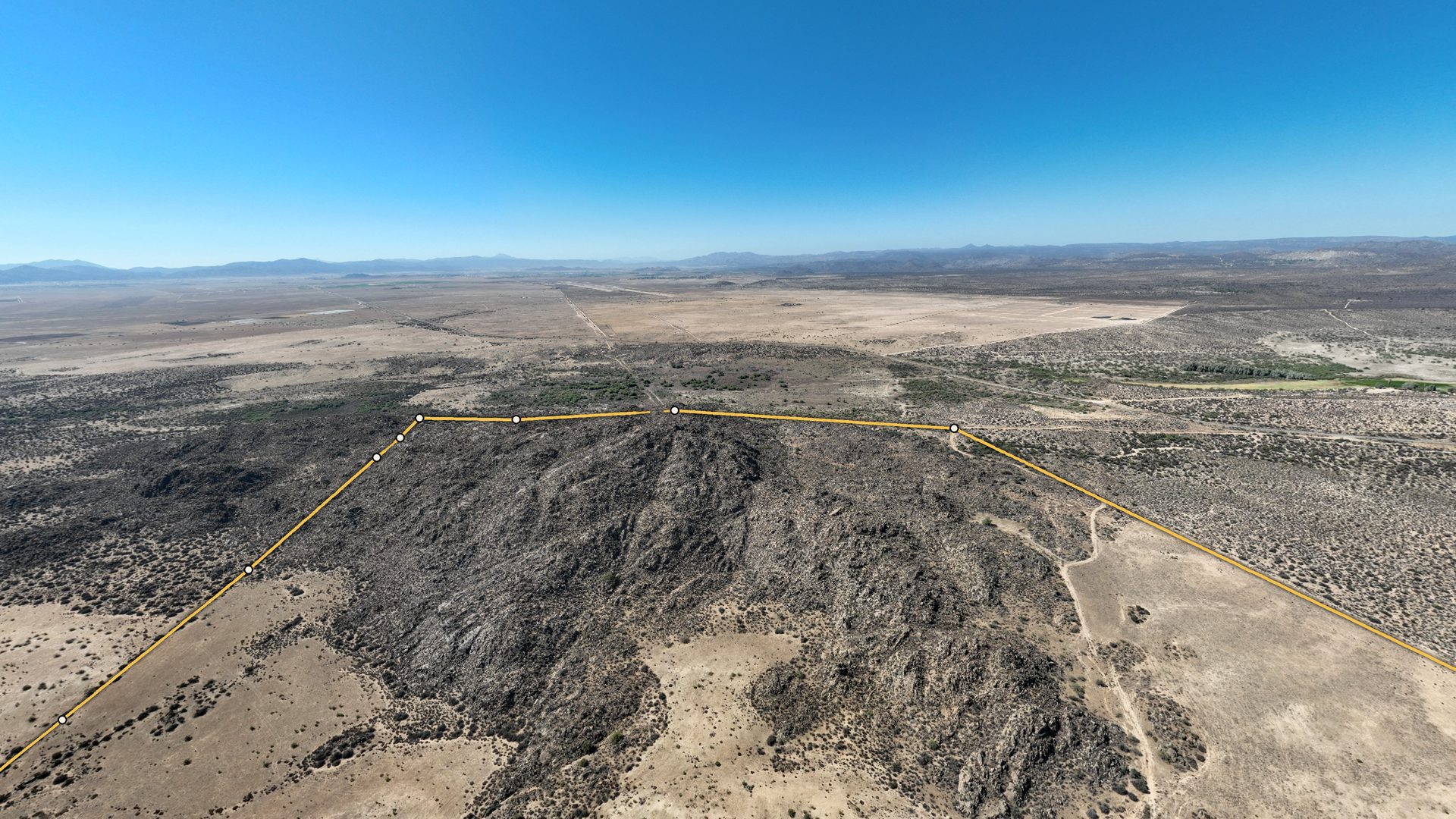
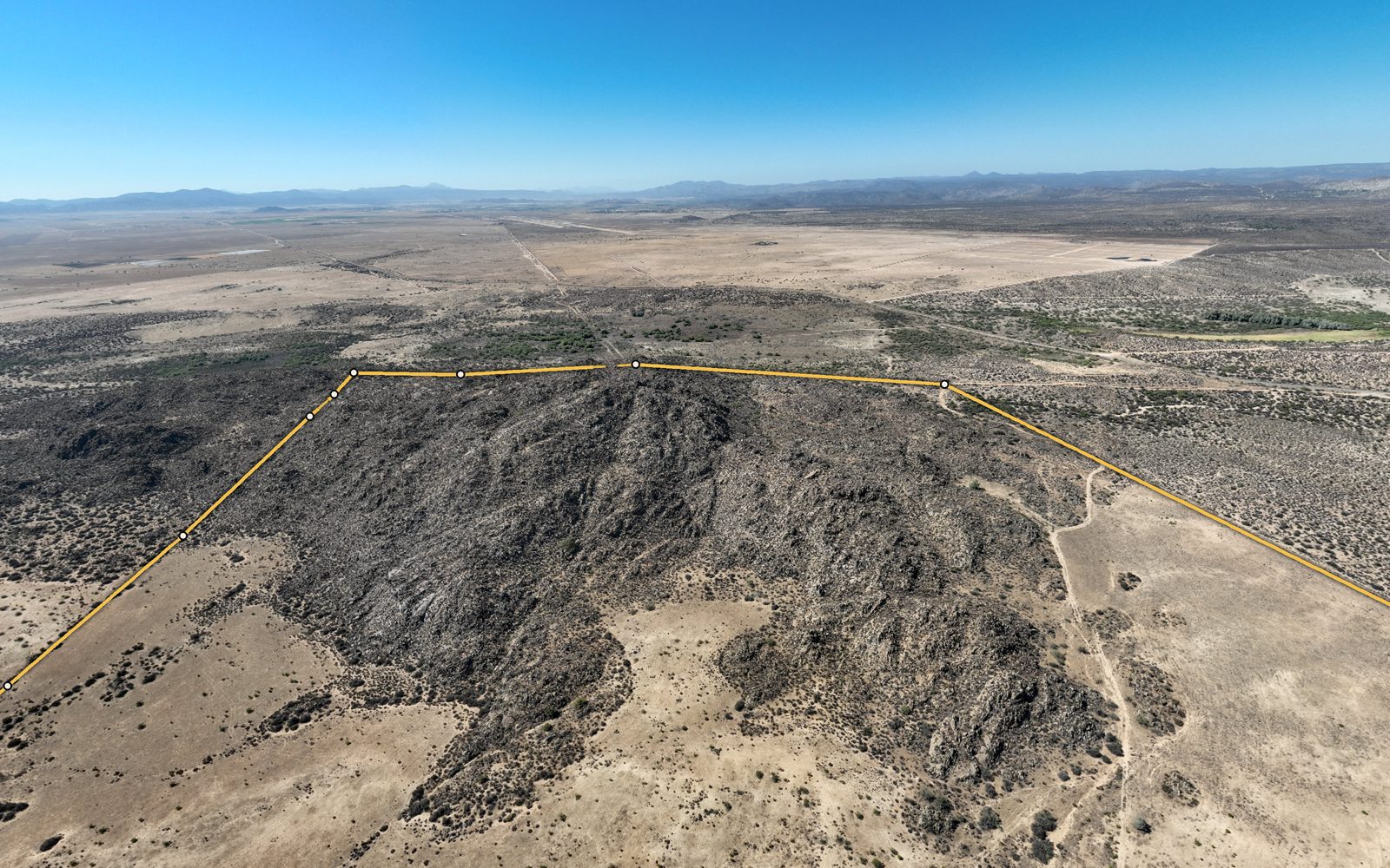
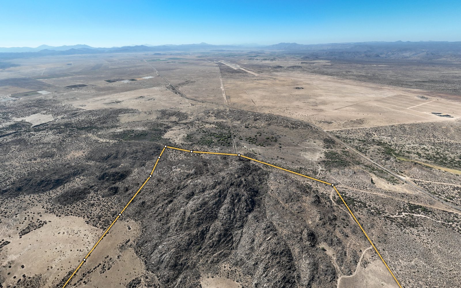
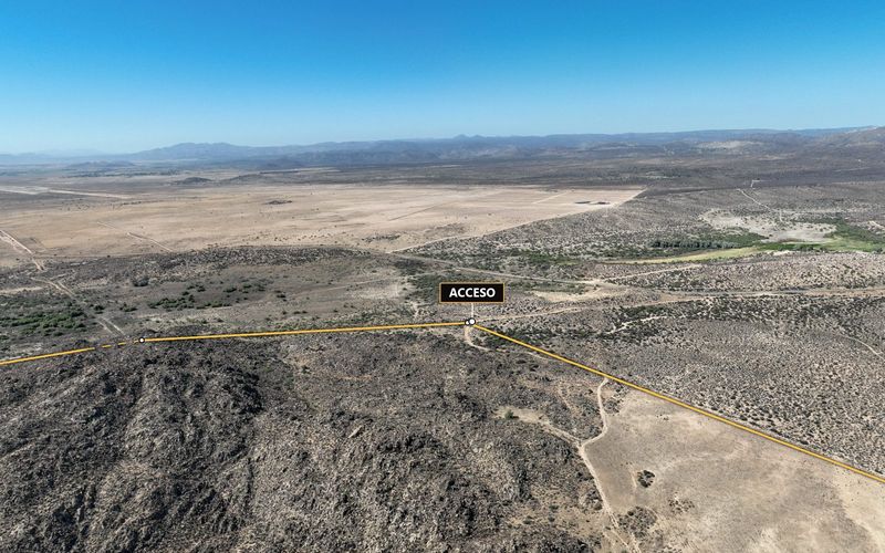
From the air you get the scale: a rocky hill in the middle, open land around it and the sierra on the horizon. That is 105.66 hectares (261 acres) in the Ojos Negros valley, municipality of Ensenada, reached by a local road off the Ensenada–San Felipe highway.
The boundary in the tour was traced from the coordinates of the cadastral boundary survey (8 corners). I can walk you through the survey and answer your questions before the visit, so you decide with facts, not assumptions. Service in English and Spanish.
Aerial photos
The land seen from the drone
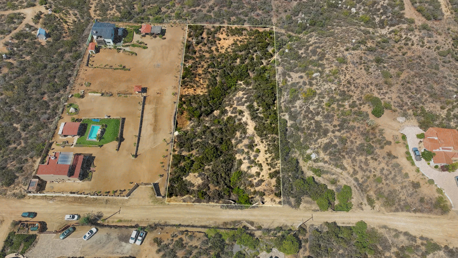
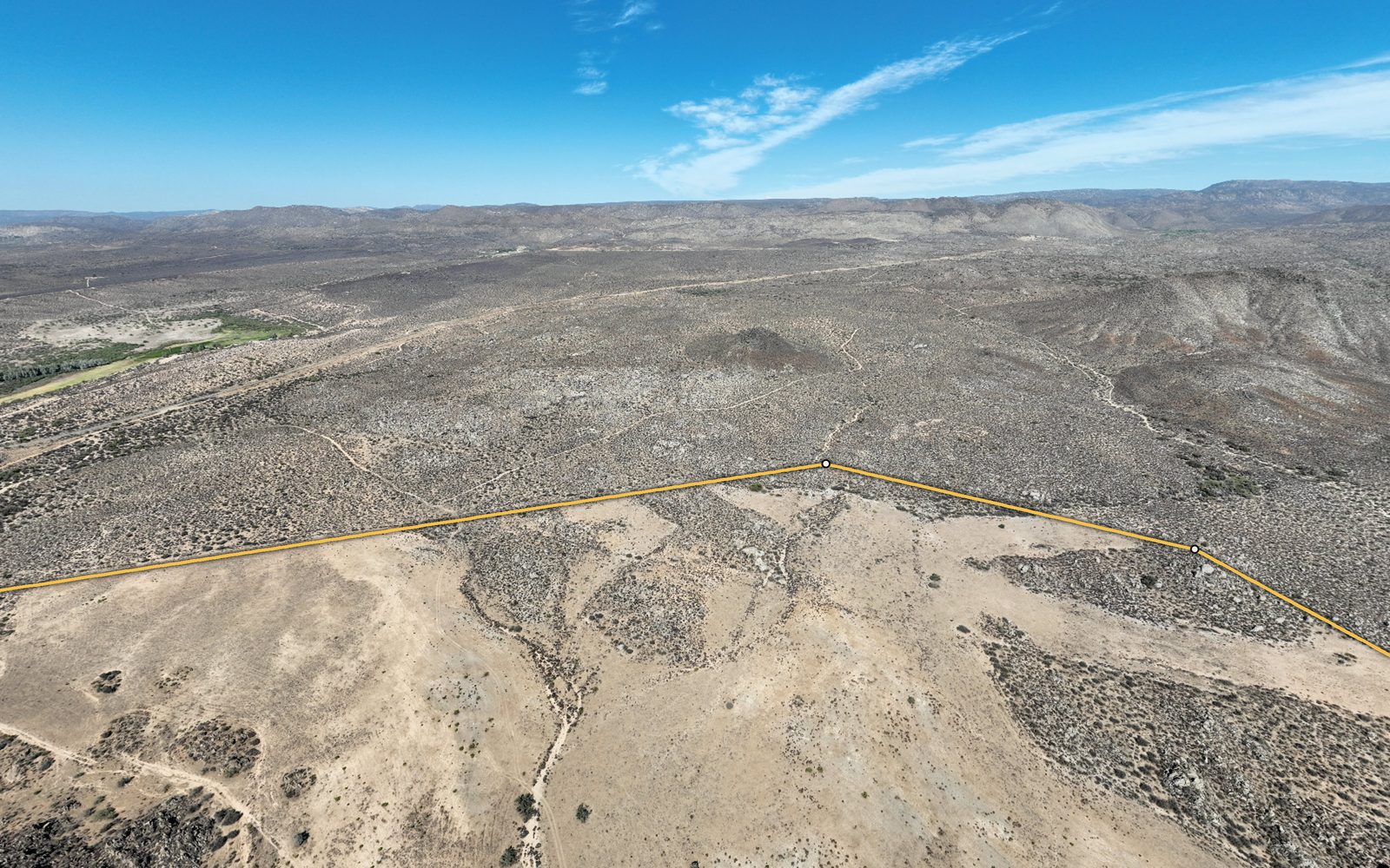
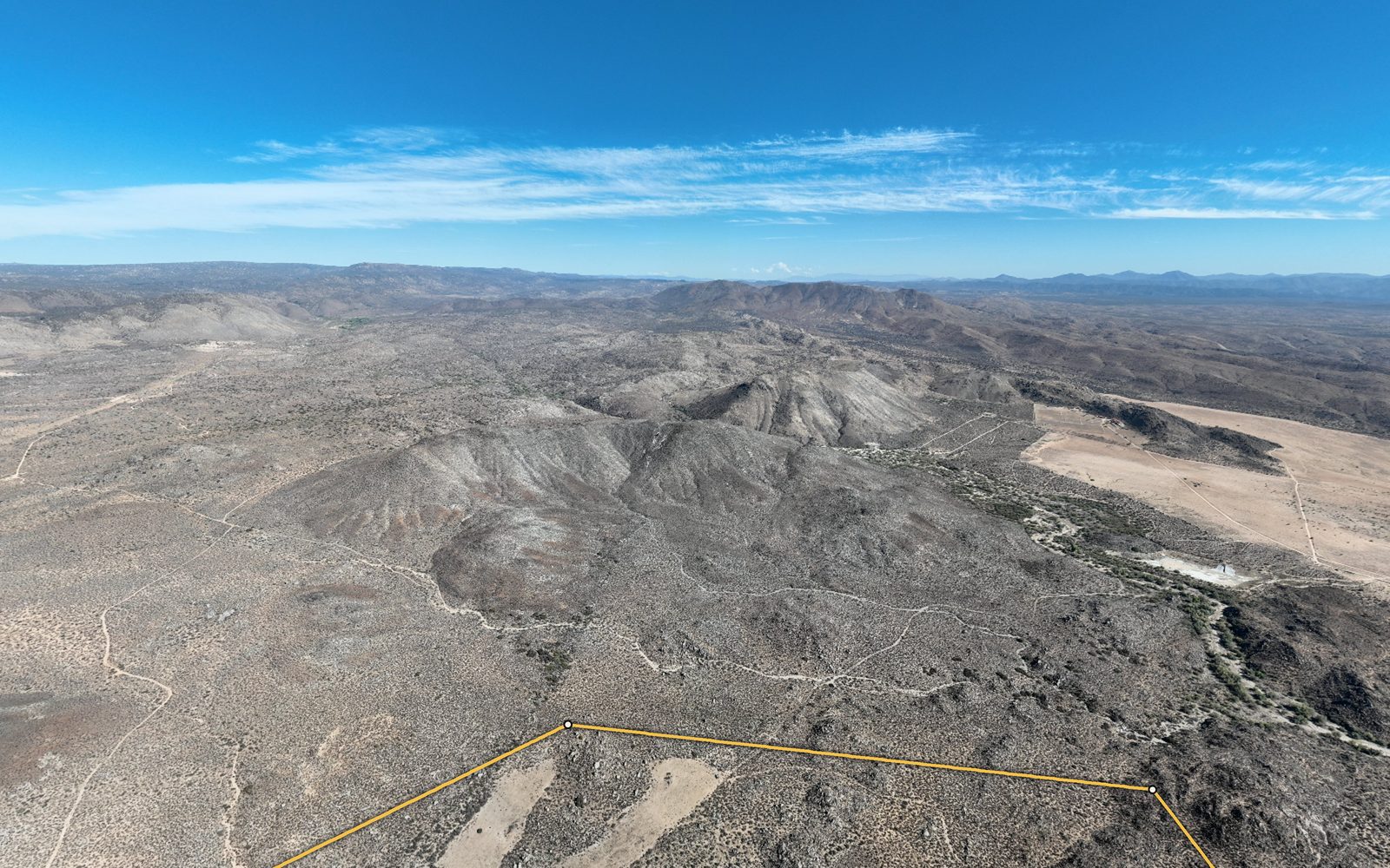
Images taken from the same 360° tour. The gold line marks the approximate boundary.
Location and access
In the Ojos Negros valley, on the road to San Felipe
- 01From Ensenada, take Federal Highway 3 toward San Felipe.
- 02At km 51+800, a local road leads to the property.
- 03I'll send you the exact location on WhatsApp when we schedule the visit.
FAQ
What buyers usually ask about this land
Where is the land located?
In Ojos Negros, municipality of Ensenada, Baja California, Mexico. It is reached by a local road that leaves the Ensenada–San Felipe highway at km 51+800.
How big is the land?
According to the cadastral boundary survey, 1,056,571.641 m², which is 105.66 hectares or about 261 acres, with a perimeter of 4,133.38 meters (about 13,561 feet).
Is the boundary shown in the tour exact?
It is a visual reference. It was traced over the drone photos from the coordinates of the cadastral boundary survey, with an estimated margin of 5 to 20 meters. It does not replace a topographic survey.
Can I visit the land?
Yes. Message me on WhatsApp or call +52 646 134 6481 to schedule a visit and I'll send you the exact location.

Your advisor for this land
What would you like to know about this land?
I'm Daniel Salinas, real estate advisor at RE/MAX La Costa Realtors in Ensenada. Tell me what you have in mind for the land and I'll get back to you with the price, the survey and anything else you need to decide.